Heat Map Properties
These properties affect the heat map component.
For a guide to using the heat map component, see Heat Map.
The same Heat Map section is used by the Heat Map Overlay of the Google Map (where X Field and Y Field become Lat Field and Lng Field), and, with different fields, by the Mapbox Heatmap Layer and the ESRI Map Heatmap Layer.
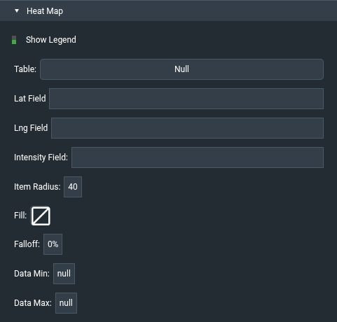
Heat maps are also affected by Common Properties.
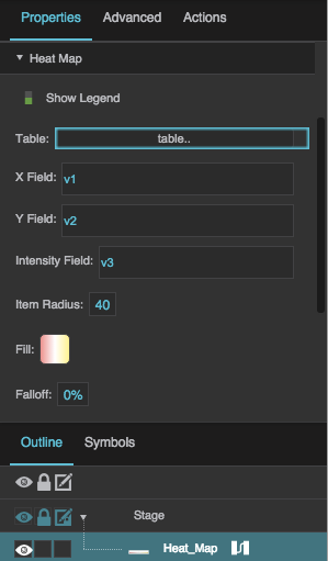
The Heat Map properties in the Property Inspector
Show Legend
Show Legend
Show Legend
Specifies whether to show a simple legend in the heat map component. The legend is shown by default.
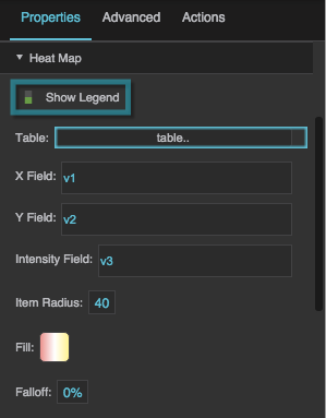
The Show Legend property
Table
Table
Table
Specifies the table that the heat map uses as a data source.
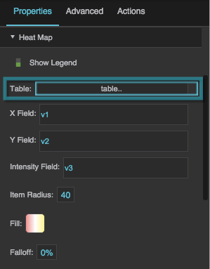
The Table property
X Field
X Field
X Field
Defines the table column from which the X values of the heat map data points are determined.
Each X value is a distance in pixels from the left edge of the component.
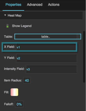
The X Field property
Y Field
Y Field
Y Field
Defines the table column from which the Y values of the heat map data points are determined.
Each Y value is a distance in pixels from the top edge of the component.
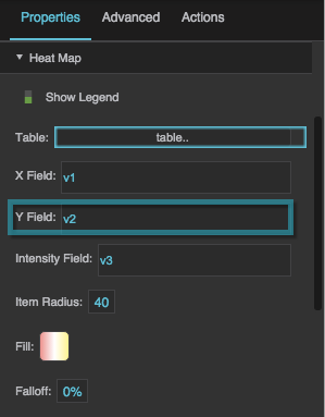
The Y Field property
Intensity Field
Intensity Field
Intensity Field
Defines the table column from which the intensity values are determined.
"Intensity" refers to whatever units the heat map is measuring, for example temperature or air flow. Each data point on the heat map has an intensity value that determines its color.
By default, intensity values range from 0 to the highest data value (see also Data Min and Data Max). An intensity of 0 corresponds to the left end of this heat map's gradient, and the highest intensity value corresponds to the right end of this heat map's gradient.
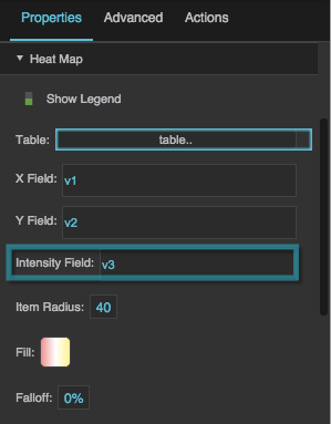
The Intensity Field property
Item Radius
Item Radius
Item Radius
Defines the radius of each item on the heat map, in pixels. The default is 40. The minimum is 1.
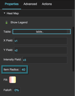
The Item Radius property
Fill
Fill
Fill
Defines the colors for the heat map gradient. The left color indicates the lowest intensity, middle colors indicate medium intensity, and the right color indicates the highest intensity.
- To add a color, click below the track.
- To specify a color, click the small square below the track and then use the color picker.
- To delete a color, right-click the small square below the track.
- To reset the gradient and start over, hover over the
 swatch until a blue dot appears. Then, click the blue dot and select Reset.
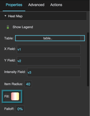
The Fill property
Falloff
Falloff
Falloff
Defines the percentage (0% to 100%, default 0%) of each heat map item that is covered by the highest intensity color for that shape. The specified inner portion of the shape is covered by the color representing the intensity of the data point. The remaining outer portion of the shape blends from the color of this intensity value to the color of an intensity value of zero.
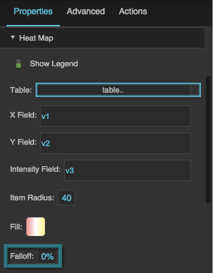
The Falloff property
Data Min, Data Max
Data Min, Data Max
Data Min, Data Max
Optionally define a fixed intensity range. When both are set and Data Max is greater than Data Min, intensity values are scaled to this range instead of the range found in the table: values at or below Data Min use the left end of the gradient, and values at or above Data Max use the right end. The legend also uses this range.
Leave them empty to use the minimum and maximum intensity values in the table.
Lat Field, Lng Field (Heat Map Overlay)
Lat Field, Lng Field (Heat Map Overlay)
Lat Field, Lng Field
Shown instead of X Field and Y Field when a Heat Map Overlay inside a Google Map is selected. They define the table columns that contain the latitude and longitude of each data point.